Pembroke Park, FL — A potent cold front pushed through the area Wednesday night. The chilly air behind it is starting to filter into South Florida.
Temperatures on Thursday will remain primarily in the 60s as our north wind continues to funnel cool and dry air into the area. This trend will continue for the next few days, meaning a prolonged cold snap for us.
Have the jackets and boots ready for Friday morning because temperatures will be in the 40s as you get ready for work and school. Even with clear skies and abundant sunshine all day, highs will still struggle to break out of the upper 60s Friday afternoon.
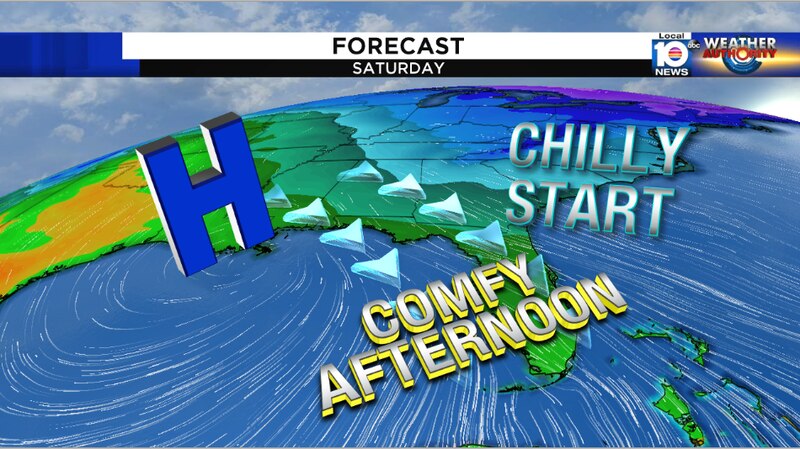
This cold snap will actually last longer than usual across South Florida as our winds remain out of the north through Sunday morning. Overnight temperatures both Saturday and Sunday will remain in the upper 40s to low 50s. Mainly clear skies with strong sunshine will be enjoyed each afternoon with highs sitting in the low to mid 70s. Be sure to make outdoor plans this weekend to take advantage of the cool and comfortable weather!
Copyright 2020 by WPLG Local10.com - All rights reserved.
