After weeks of heavy rain across South Florida, we may finally see a break in the stormy pattern.
High pressure will build in across the southeastern United States by the end of the weekend, and, combined with dry Saharan air, should help us return to a more typical summertime pattern.
While we can’t rule out the usual afternoon thunderstorm, the coverage of rain will be noticeably less than what we’ve experienced in recent weeks. Of course, less cloud cover and high pressure mean the return of scorching summer heat and triple-digit heat indices next week.
Across the tropics, while we’re expecting the formation of another tropical depression or storm in the eastern Pacific early next week, it’ll stay on the Pacific side.
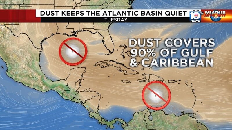
The Atlantic should remain quiet into early next week as hostile upper-level winds persist in the Caribbean and through the deep tropics.
Copyright 2022 by WPLG Local10.com - All rights reserved.
